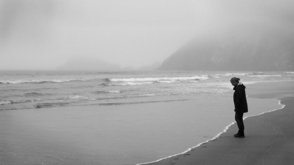
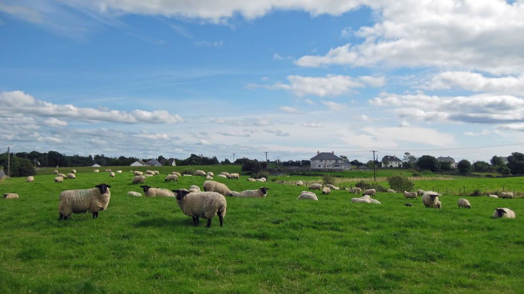
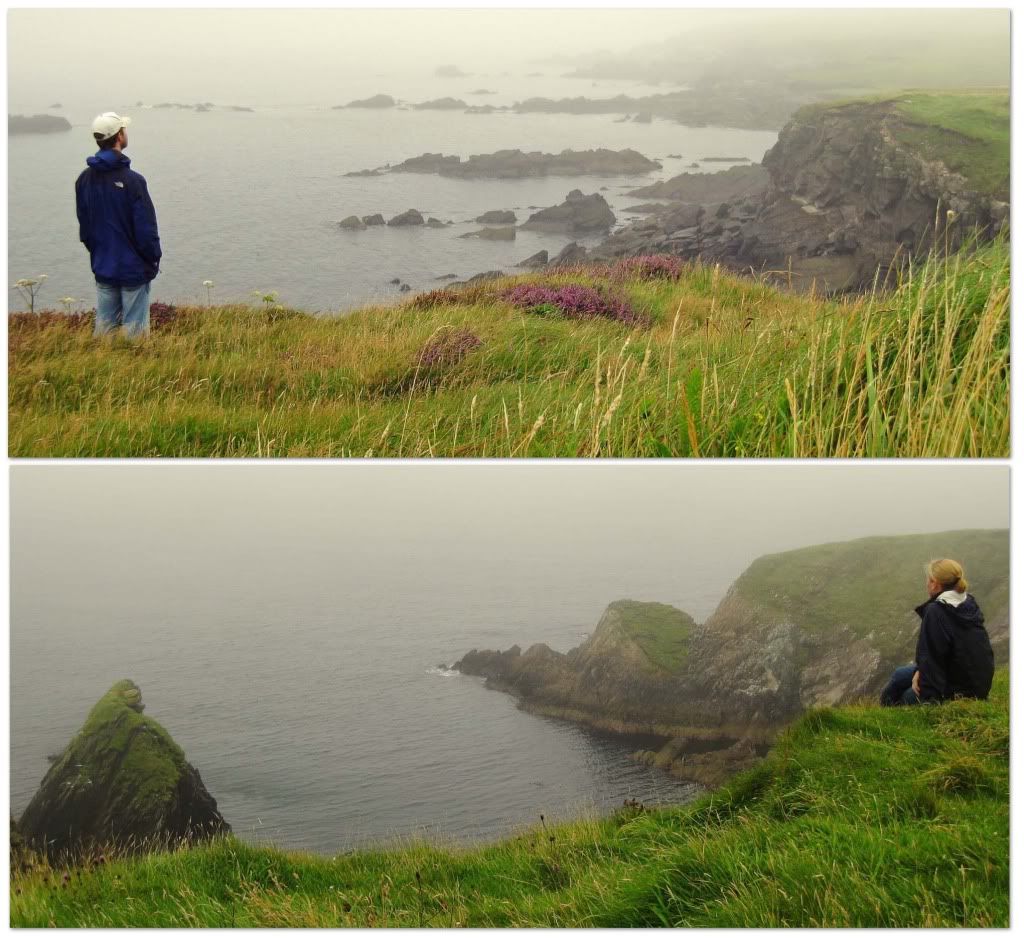
We had one full day to see the Dingle Peninsula and due to the weather, we couldn't see much of anything. It was extremely foggy, cloudy, misty, and cold. But despite the bad weather, it was still a beautiful place and we enjoyed every minute of being there.
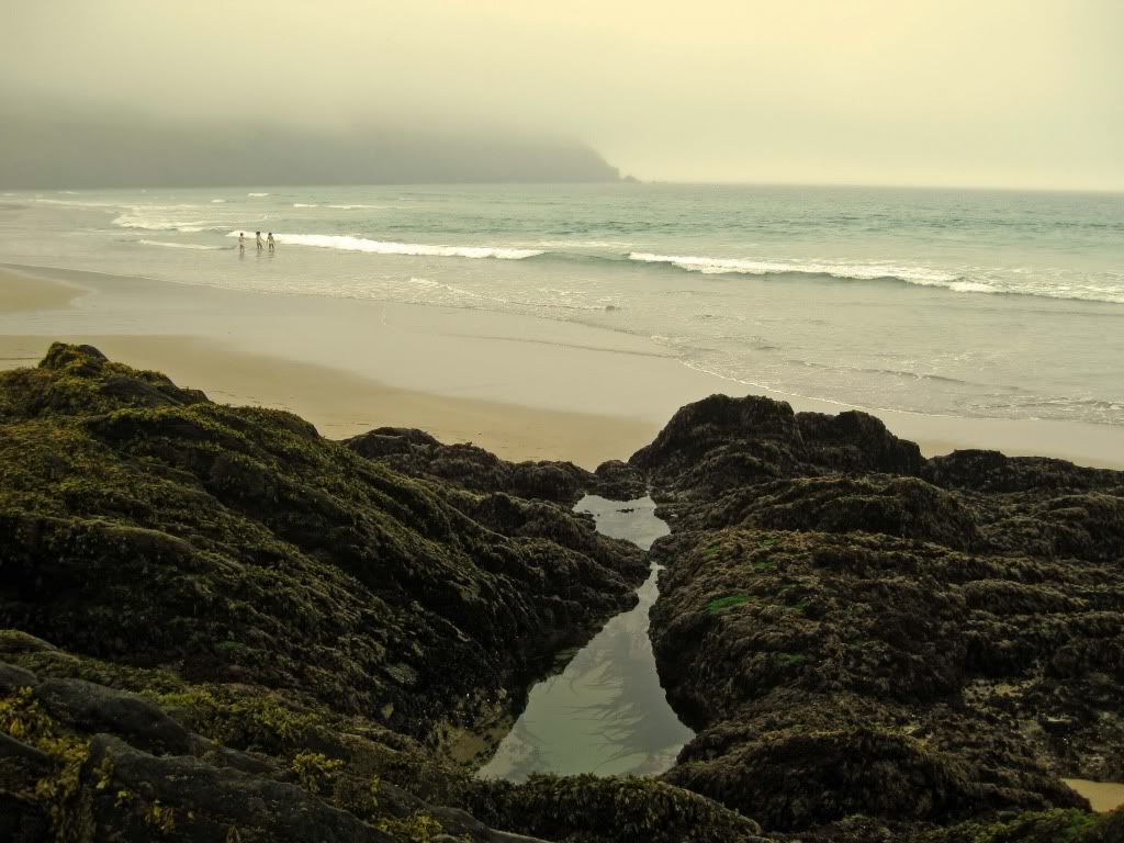
It was such a picturesque beach. We couldn't believe that people were actually getting in the water because it was freezing!
 The cliffs and rocks were gorgeous.
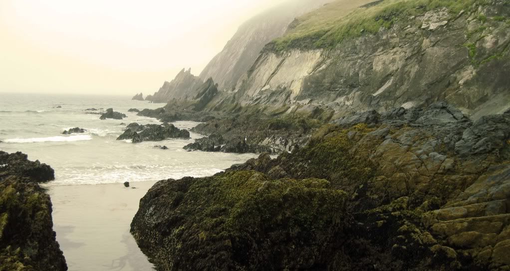
We drove along the coast and jumped out when we saw something worthy of a stop... we stopped a lot. We were happy to be looking out at the Atlantic Ocean. It felt a little closer to home.
This is a famous ramp that the sheep of Dingle go down each summer. From here they are loaded (upside down!) in canoe-like boats and sent to a neighboring island to eat the grass there for the season. Not really sure why they do that. It looked like they had plenty of grass on Dingle to us!
 We found someone to take a picture of us!
 We found someone to take a picture of us!
 In addition to Dingle's beautiful scenery, it also contains many historical sights. For example, this church was constructed over 1,300 years ago with no mortar and is still water-tight to this day!
Within the graveyard, there is a much older Ogham Stone. This stone had already stood here 900 years before the church was built and indicated that this was a pre-Christian holy spot. A hole was later drilled through the top of the stone as a place were people would come to "seal the deal." Standing on the graves of their ancestors and in front of the church, they would "swear to God" by touching thumbs through the stone. People also came here to renew their vows, so that's what we did!


Our last sight to see in Dingle were the ruins of the Minard Castle. It was built by the knights of Kerry in 1551 and later destroyed by Cromwell around 1650. This exact picture (minus Nate) is on the front of our guidebook, so we definitely wanted to see it. The only thing missing is the gorgeous backdrop of the ocean, coast, and cliffs!
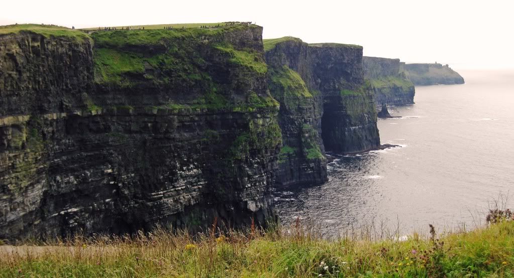
 The next day, we left Dingle and drove further up the western coast of Ireland. On the way, we visited the Cliffs of Moher. These cliffs stretch for over 5 miles and rise as high as 650 feet above the Atlantic!
 These pictures hardly capture the enormous size of these cliffs. Click on this picture to see how tiny the people look who are walking along the edge.
 There are signs everywhere warning people to stay away from the edge. But, some people want to get as close as possible and as the saying goes... curiosity killed the cat. For over 50 people, these cliffs were the last thing they ever saw.
After leaving the cliffs of death, we headed to the Burren. Basically, it is an empty, 10-square mile limestone plateau. Our guidebook has a great quote about this place, which describes it as, "a savage land, yielding neither water enough to drown a man, nor a tree to hang him, nor soil enough to bury him."
 This "mini-Stonehenge" is called the Poulnabrone Dolmen. Over 4,000 years ago it was grave chamber, but now it just looks like an old stone table. It also looked like if the wind blew hard enough, that it would topple over!
 After a long day of driving and sight seeing, we spent the night in Galway. The next day, we took one last scenic drive in Ireland. This was our fifth day here and we still had not had a day of blue skies. Our first stop was the Kylemore Abbey located on an idyllic setting on a lake.
 This monument in the Doo Lough Valley, memorializes those who died in the valley during the potato famine. They had walked 12 miles hoping to get food from their landlord, but were turned away.
